Our GIS Team
Living Oceans Society is at the forefront of mapping Canada's Pacific coast.
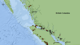
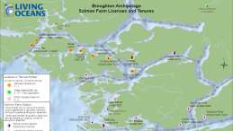
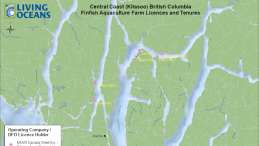
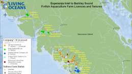
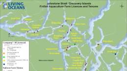
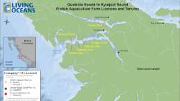
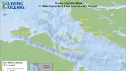
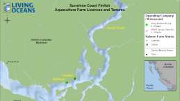
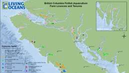
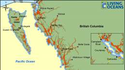
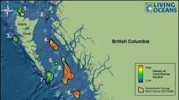
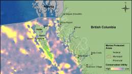
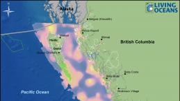
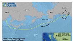
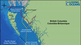
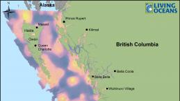
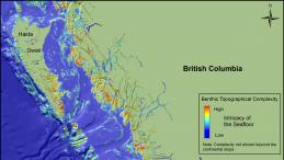
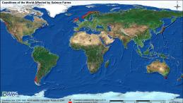
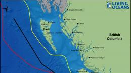
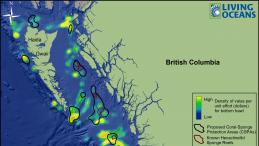
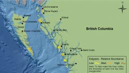
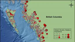
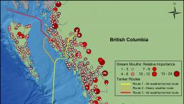
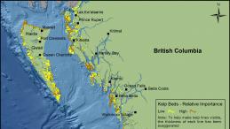
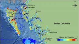
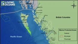
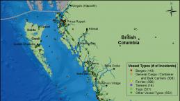
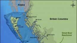
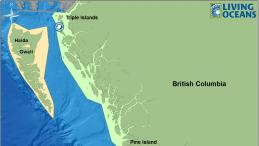
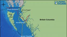
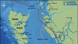
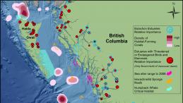
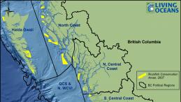
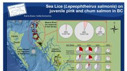
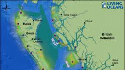
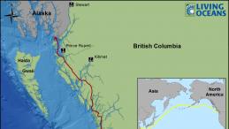
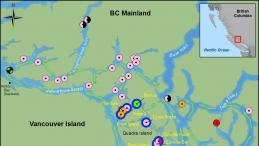
Our GIS team (Geographic Information Systems) maps the places and creatures we’re working to protect. For example, we show you where marine debris has been located and removed from sensitive shorelines, where salmon farms interrupt wild fish migration, and where marine planning for the Great Bear Sea can help to reduce conflict.
We also design custom maps for a fee! Address inquiries to the Director of Mapping at info [at] livingoceans.org.
Using our maps
We encourage use and reproduction of our work for purposes of public education and research, with credit to “Living Oceans Society”. No other use is permitted without written authorization from Living Oceans Society. For authorization or high resolution formats please contact our Communications Manager at info [at] livingoceans.org.
If you find our maps useful please consider supporting our research.
Donate Now